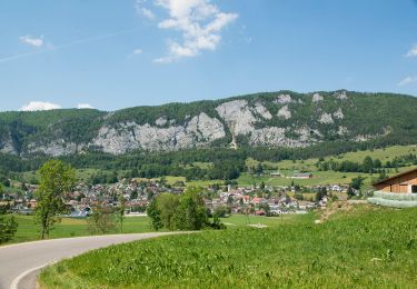
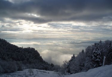
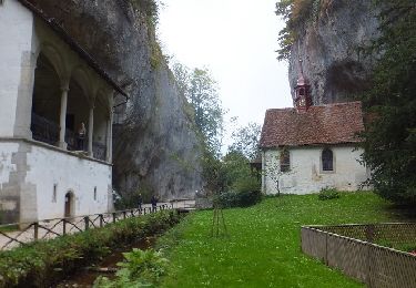
16.8 km | 26 km-effort
Balmberg - Wolfisberg
steger12
User
Length
11 km
Max alt
1159 m
Uphill gradient
255 m
Km-Effort
15.7 km
Min alt
668 m
Downhill gradient
644 m
Boucle
No
Creation date :
2014-12-10 00:00:00.0
Updated on :
2014-12-10 00:00:00.0
--
Difficulty : Unknown
FREE GPS app for hiking
About
Trail Other activity of 11 km to be discovered at Solothurn, Bezirk Lebern, Balm bei Günsberg. This trail is proposed by steger12.
Positioning
Country:
Switzerland
Region :
Solothurn
Department/Province :
Bezirk Lebern
Municipality :
Balm bei Günsberg
Location:
Unknown
Start:(Dec)
Start:(UTM)
389591 ; 5235559 (32T) N.
Comments
Trails nearby
Weissenstein – Passwang Weg
On foot
Medium
Welschenrohr-Gänsbrunnen,
Solothurn,
Bezirk Thal,
Switzerland
5h 57min
No
Balmberg Passhöhe - Welschenrohr
On foot
Easy
Balm bei Günsberg,
Solothurn,
Bezirk Lebern,
Switzerland
3.6 km | 5.1 km-effort
1h 9min
No
Planetenweg
On foot
Easy
Oberdorf (SO),
Solothurn,
Bezirk Lebern,
Switzerland
9.9 km | 15.2 km-effort
3h 27min
No
Le Petit Pré - Sur le Golat
On foot
Easy
Corcelles (BE),
Bern,
Bernese Jura administrative district,
Switzerland
3.4 km | 5 km-effort
1h 8min
No
Welschenrohr - Tuftbrunnen
On foot
Easy
Herbetswil,
Solothurn,
Bezirk Thal,
Switzerland
3.7 km | 4.9 km-effort
1h 6min
No
Circuit Rüttenen - Soleure 09.10.16
Walking
Easy
Rüttenen,
Solothurn,
Bezirk Lebern,
Switzerland
9.7 km | 12.7 km-effort
2h 44min
Yes
Balmberg - Oensingen
Other activity
Very easy
Balm bei Günsberg,
Solothurn,
Bezirk Lebern,
Switzerland
16.3 km | 24 km-effort
Unknown
No
Oberdorf - rocher de Granges
Other activity
Very easy
Oberdorf (SO),
Solothurn,
Bezirk Lebern,
Switzerland
18.5 km | 27 km-effort
Unknown
No
SO Weissenstein -Grenchenberg
Other activity
Very easy
Oberdorf (SO),
Solothurn,
Bezirk Lebern,
Switzerland
9.7 km | 16.3 km-effort
Unknown
No